Common names:
Herring
Occurrence:
native
Salinity:
marine
Abundance:
|
Ref:
Importance:
commercial
|
Ref:
Aquaculture:
|
Ref:
Regulations:
|
Ref:
Uses:
live export: yes;
Comments:
Known from coast of Atlantic Ocean (Ref. 12735, 12749), with a strong pattern of seasonal onshore-offshore abundance, which coincide with the alternance of the rainy and dry seasons (Ref. 12735). It appears to be more abundant in the deeper waters between 40 to 200m depth, and more restricted to the northern part of the Sierra Leonean shelf, being rarely found in large quantities south of Sherbro Island (Ref. 12735). Also Ref. 188, 2945, 4743, 30305.
National Checklist:
Country Information:
https://www.cia.gov/library/publications/resources/the-world-factbook/geos/sl.html
National Fisheries Authority:
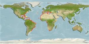
Occurrences:
OccurrencesPoint map
Main Ref:
Vakily, J.M., 1992
National Database:
> Clupeiformes (Herrings) > Dorosomatidae (Gizzard shads and sardinellas)
Etymology: Sardinella:Latin and Greek, sarda = sardine; name related to the island of Sardinia; diminutive (Ref. 45335). More on author: Valenciennes.
Environment: milieu / climate zone / depth range / distribution range
पारिस्थितिकी
Can't connect to MySQL database (fbapp). Errorcode: Too many connections


")